Kategorie-Archiv: 2. Woche

In den Fjorden

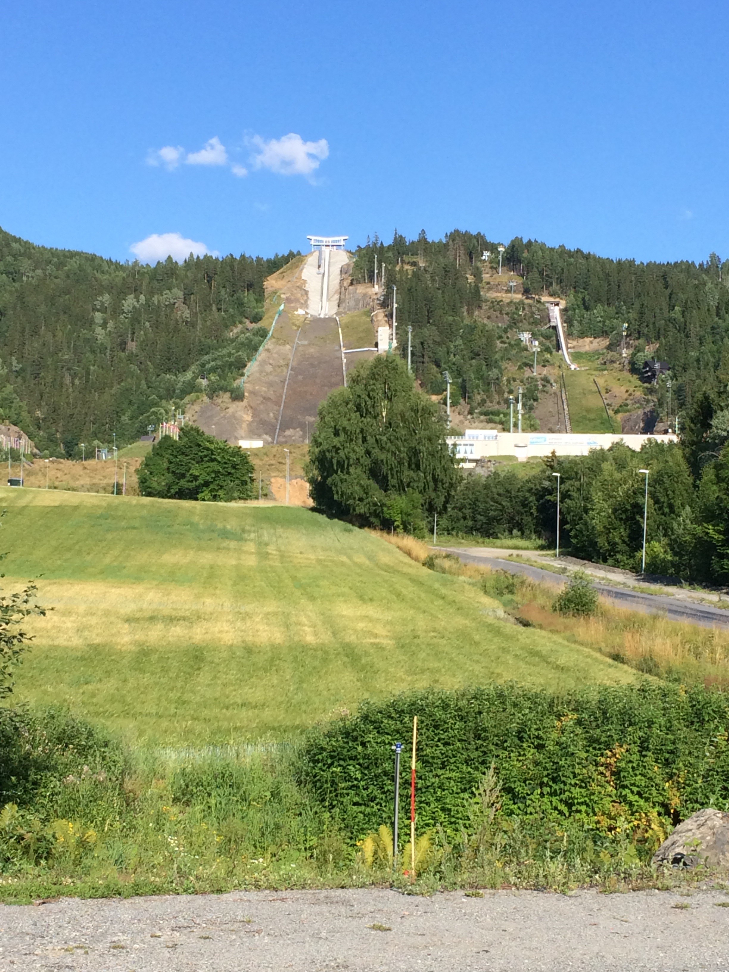
163 km I 0:11:24 I 2.162 km I 5:13:44 I Flakk – Namsos

image

Viel Meer. Der erste Seeadler und Kraniche. Auch das erste Gespräch mit einem Randonneur-Kollegen, der auf der Rückreise vom Kap ist. 4.000 Kilometer hat er in den Beinen aus Deutschland über Schweden und jetzt zurück erst durch Norwegen und dann wieder durch Schweden. Er erzählte was von Schnee am Nordkap. Muss bei einem Tagesdurchschnitt aber auch zwei bis drei Wochen her sein.

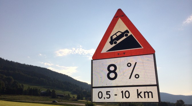
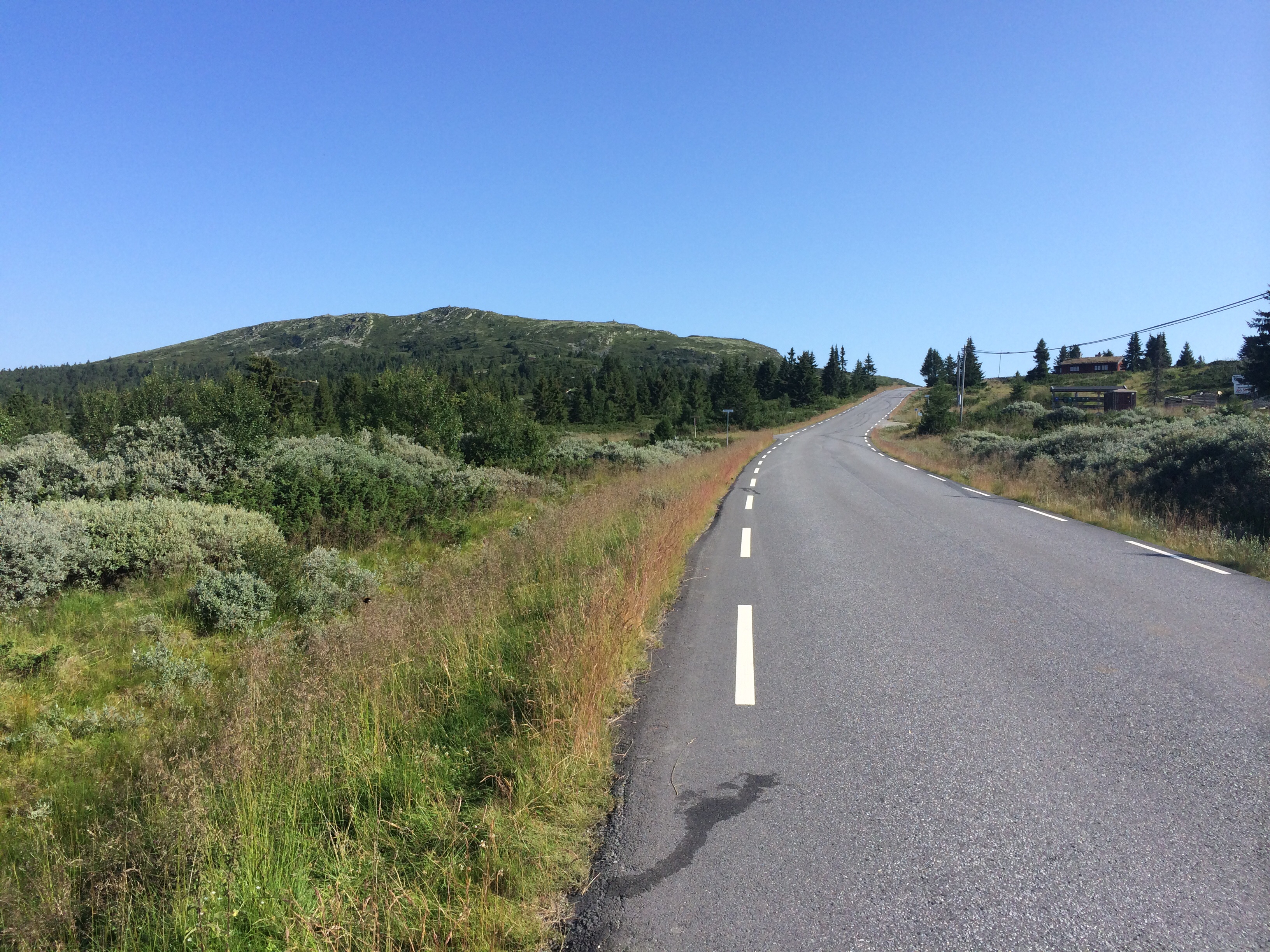
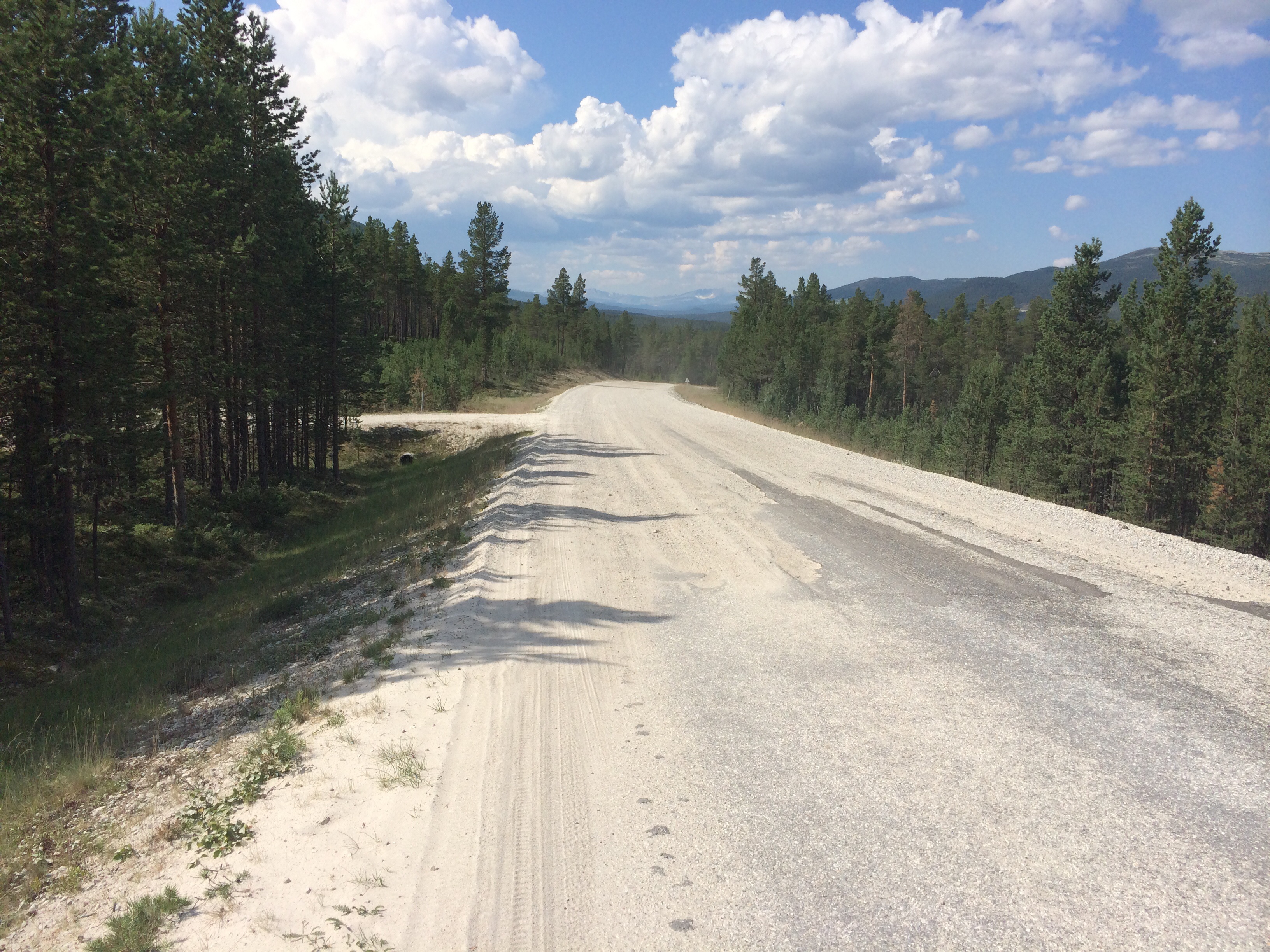
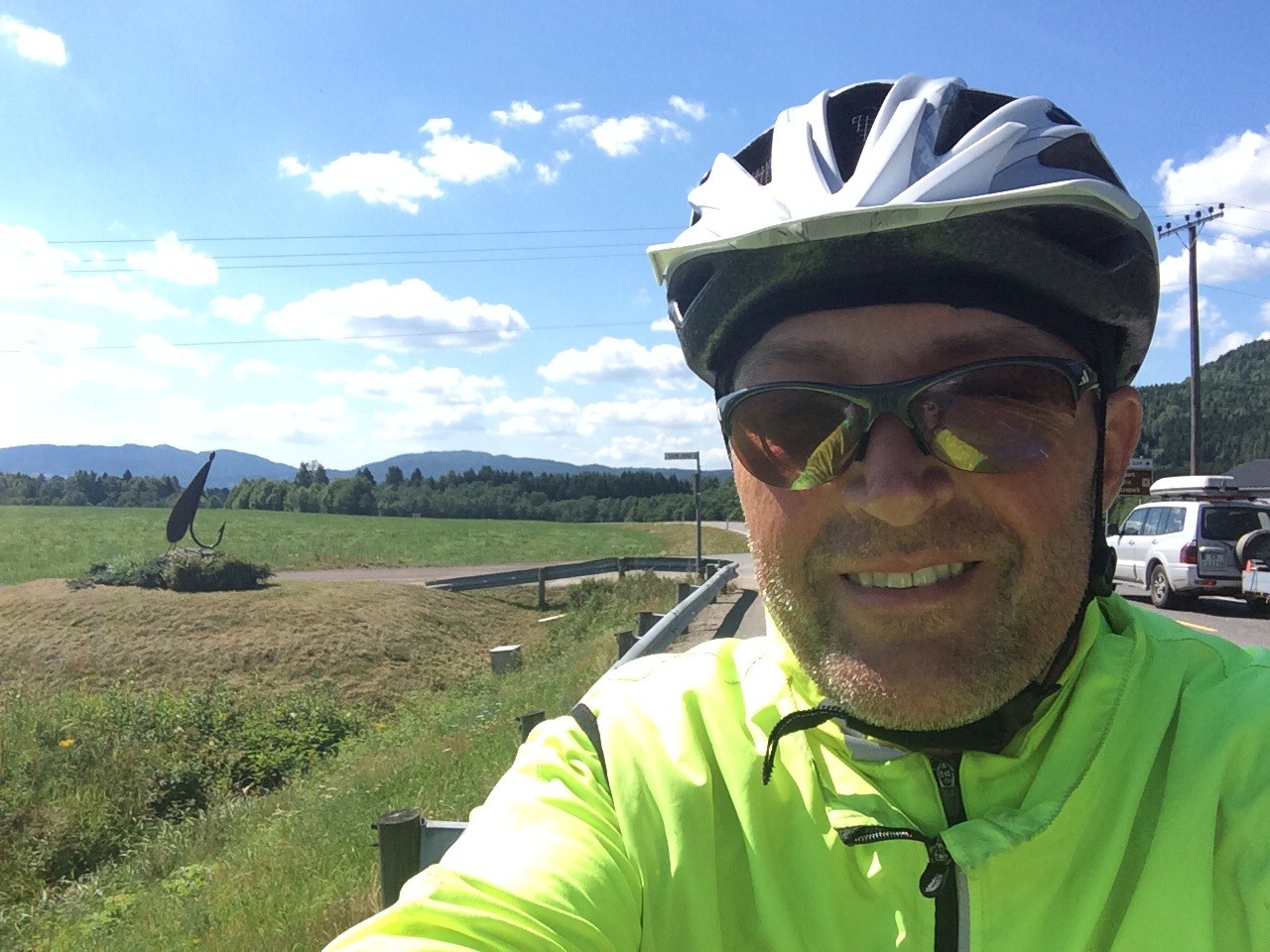
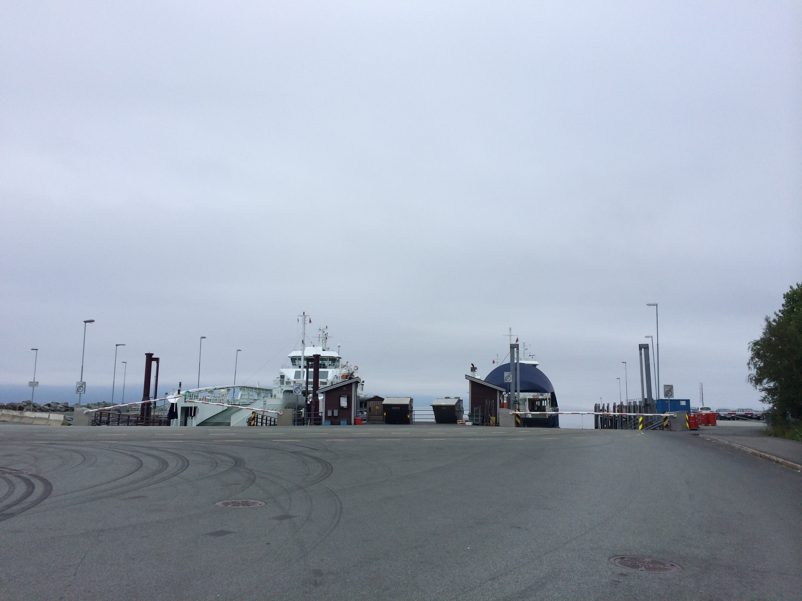
Ich schlängele und tänzele die Anstiege hoch und runter. Und davon gibt es hier einige. Der Erste direkt nach der Fährankunft in Rorvika.

image

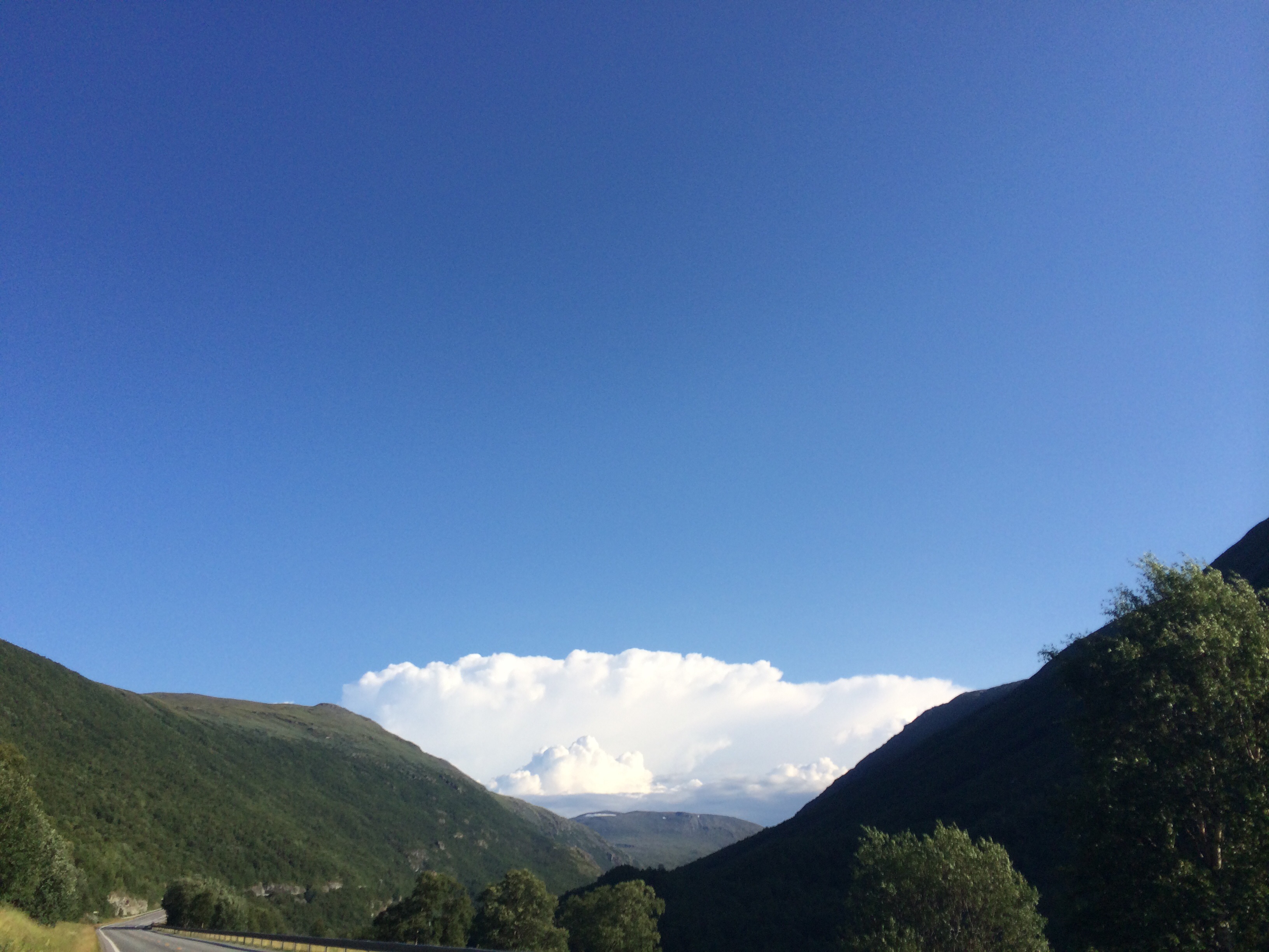
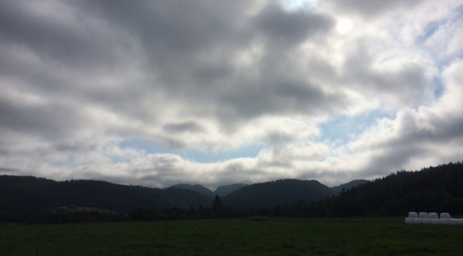
Nach einem sehr grauen Morgen riss es am späteren Vormittag auf und den Rest des Tages für ich wieder im strahlenden Sonnenschein. Klasse. Selbst eine Strassensperrung konnte mich nicht aufhalten.

image

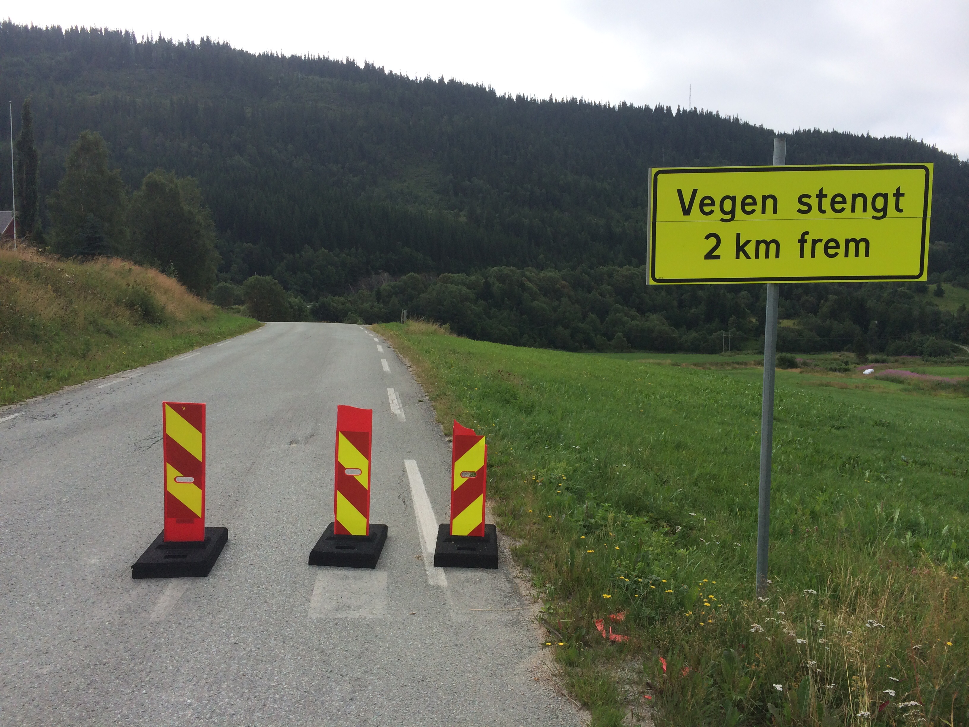
Nach dem Motto Mut zum Risiko bin ich einfach durch und dann tatsächlich auch dort herausgekommen, wo ich hin wollte. Manchmal klappt sowas ja. Ich habe mich jedenfalls sehr gefreut, dass ich keinen Umweg fahren musste.

image


Score at half time

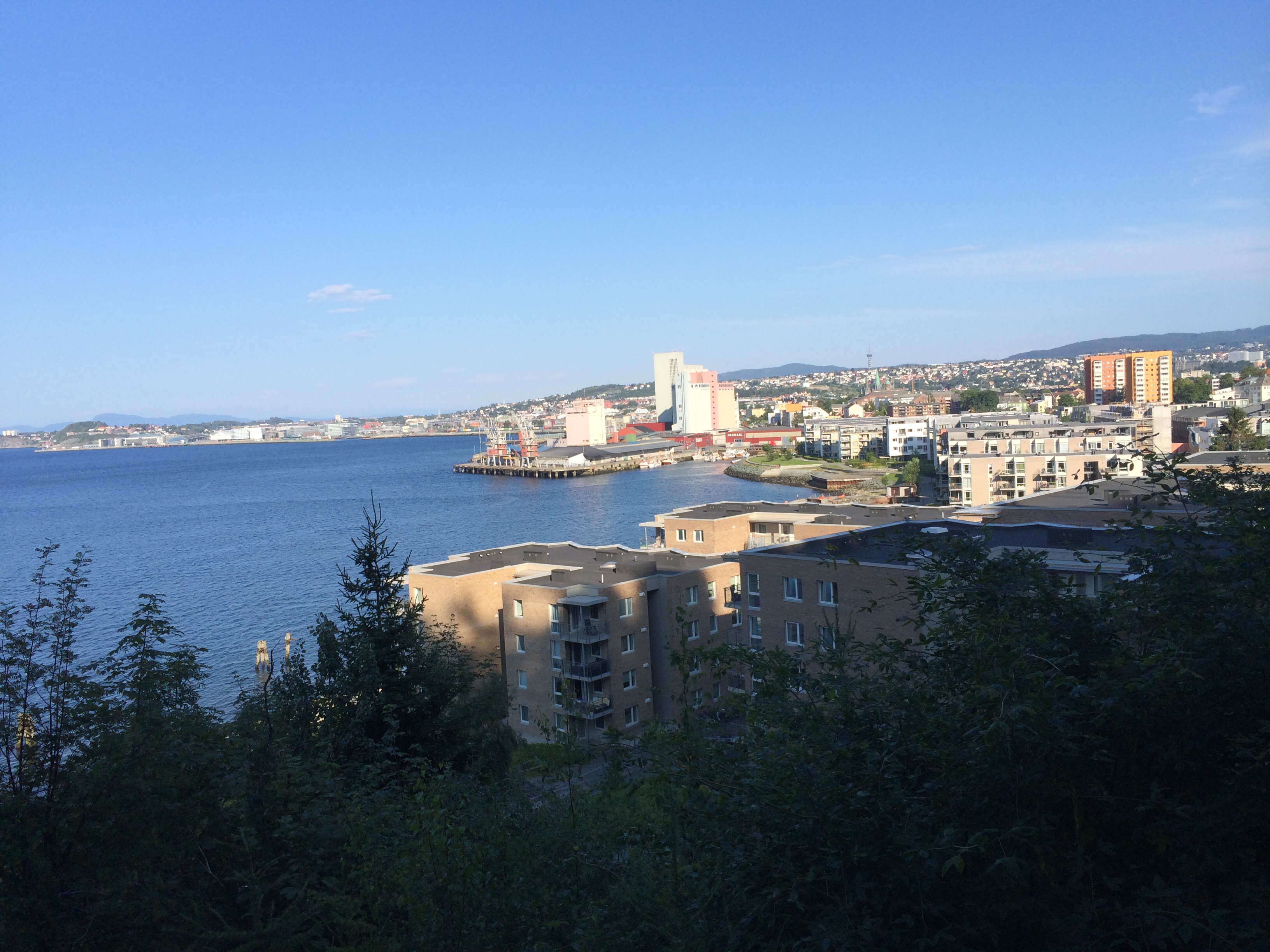
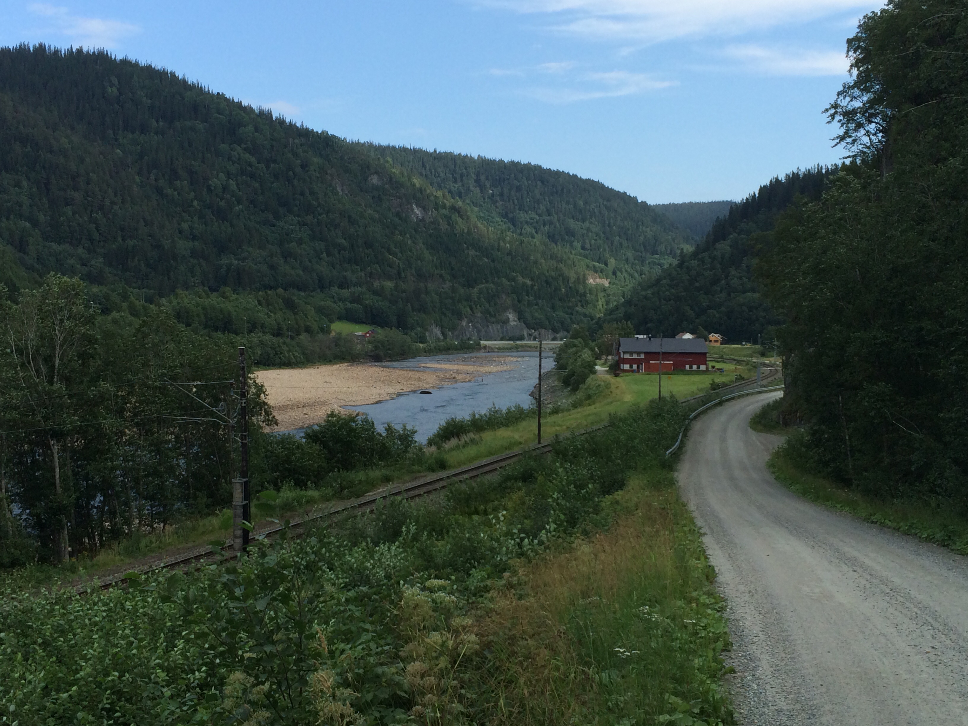
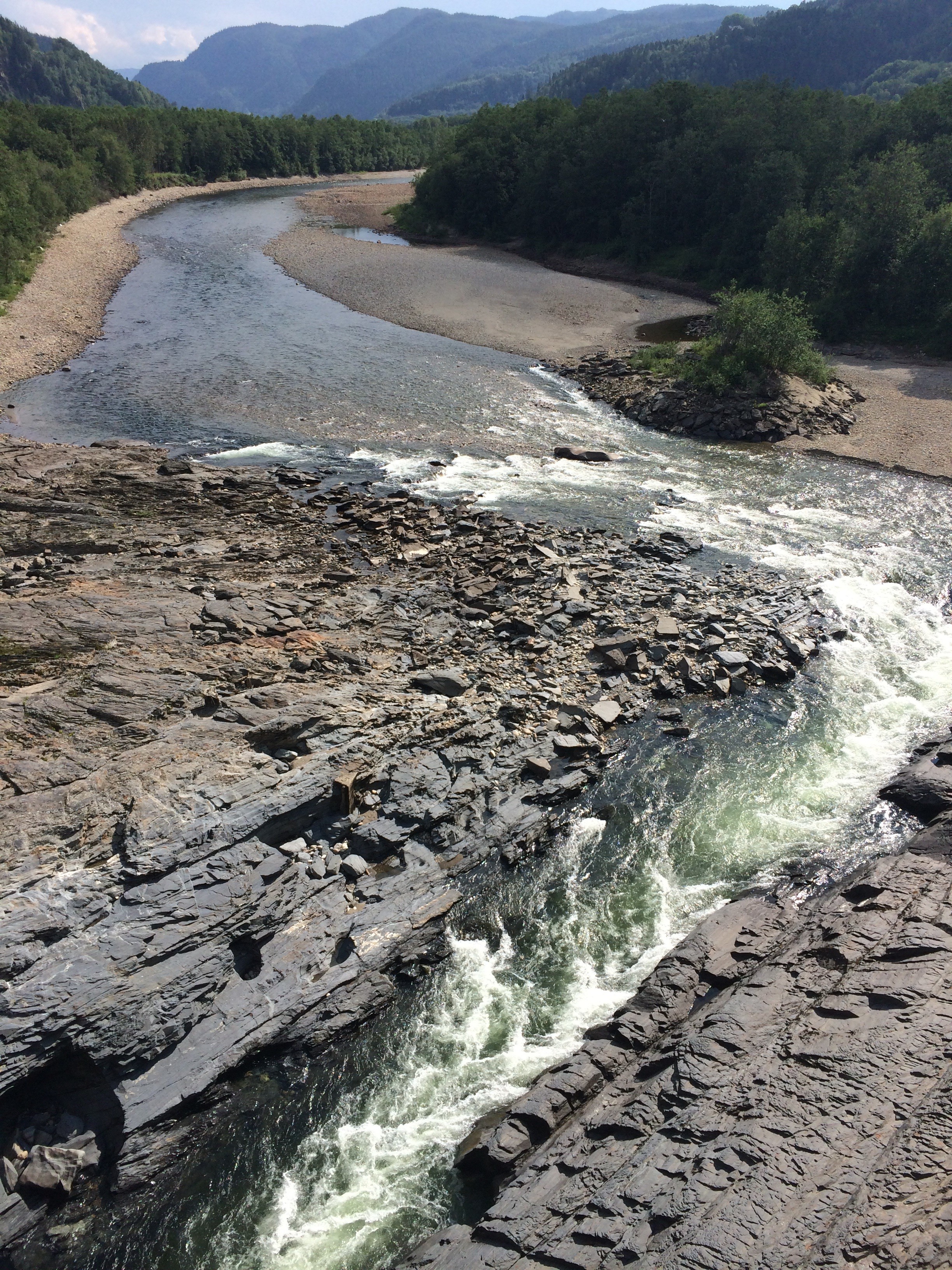
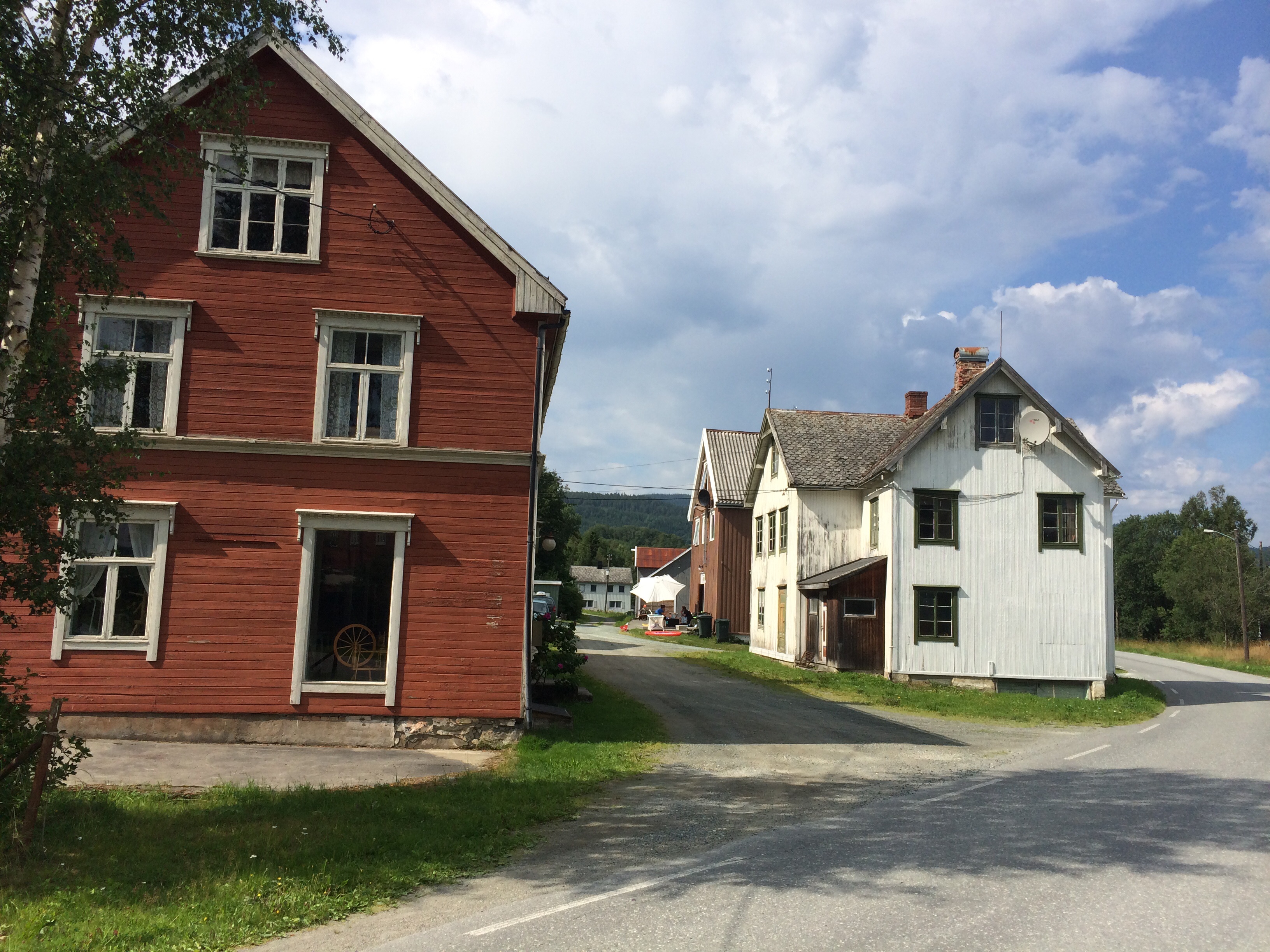
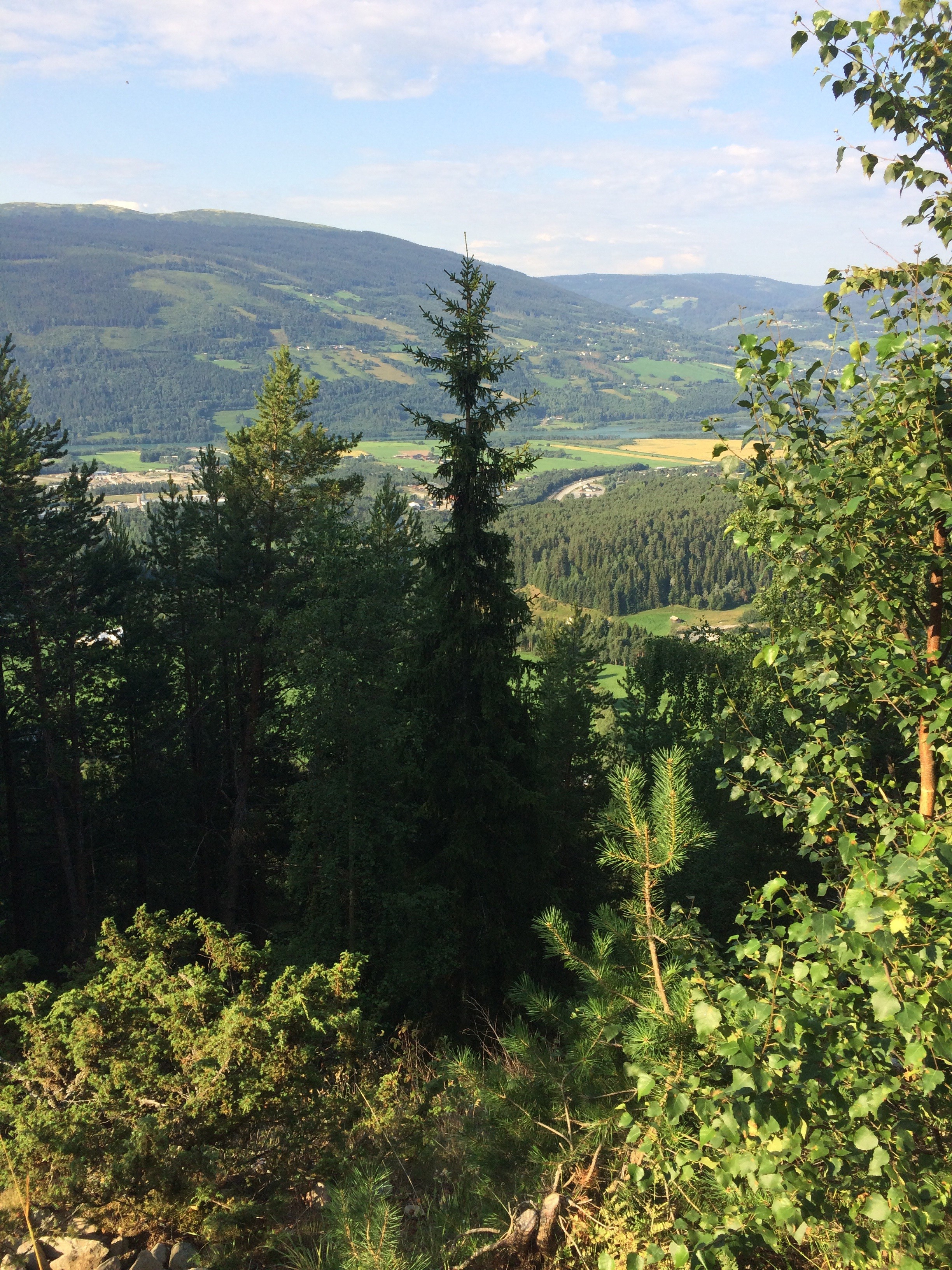
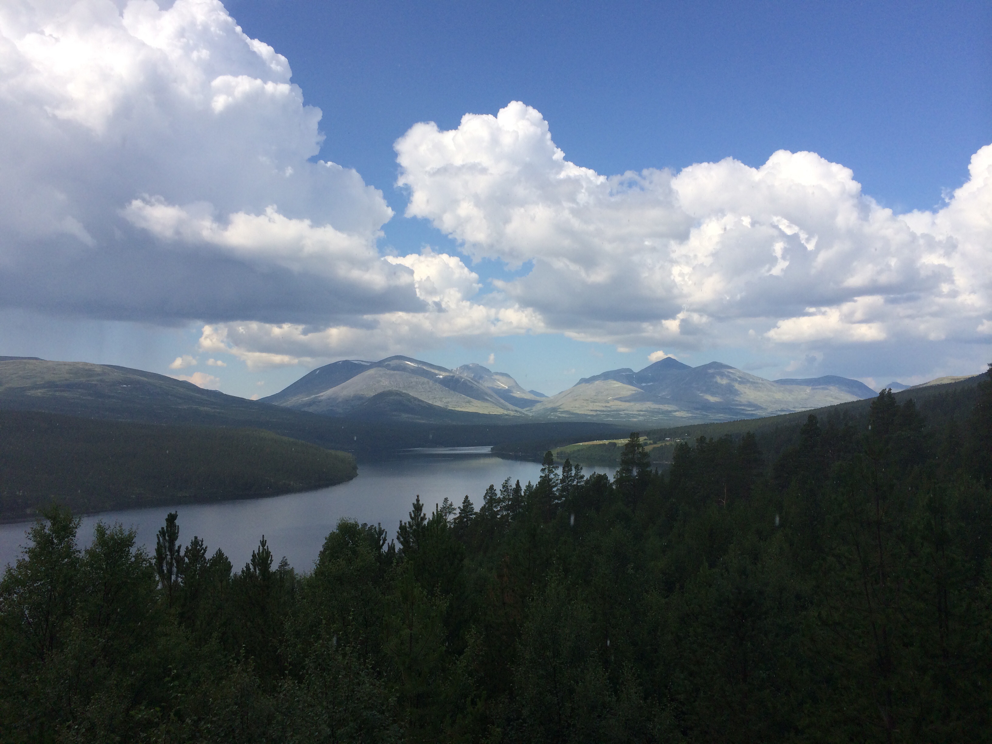
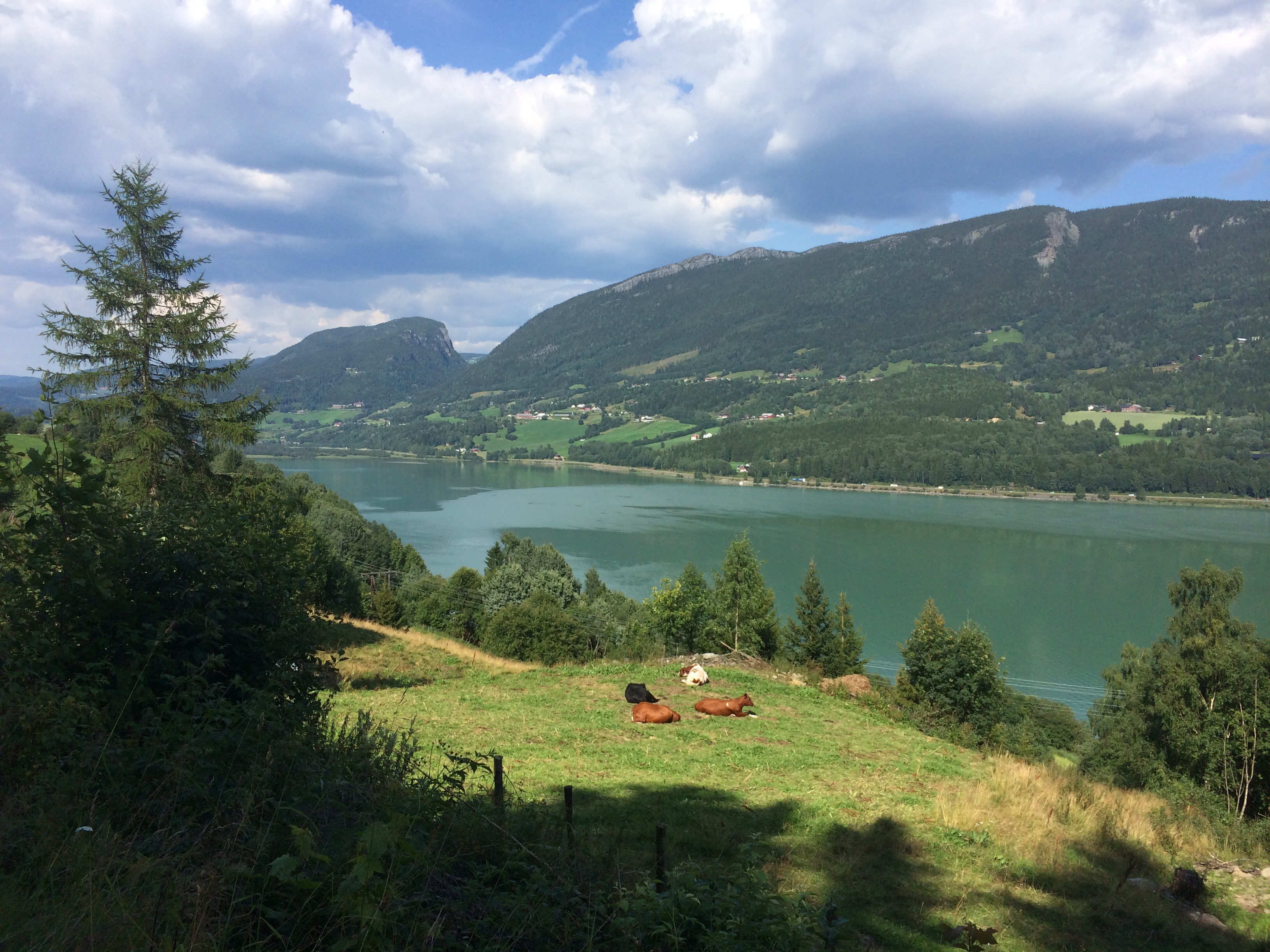
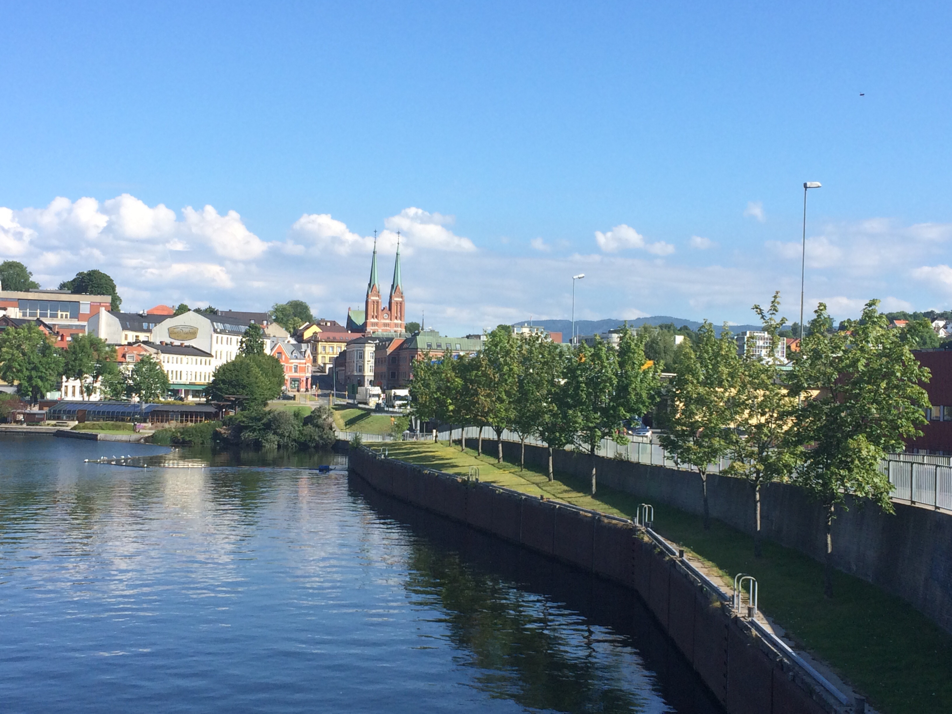
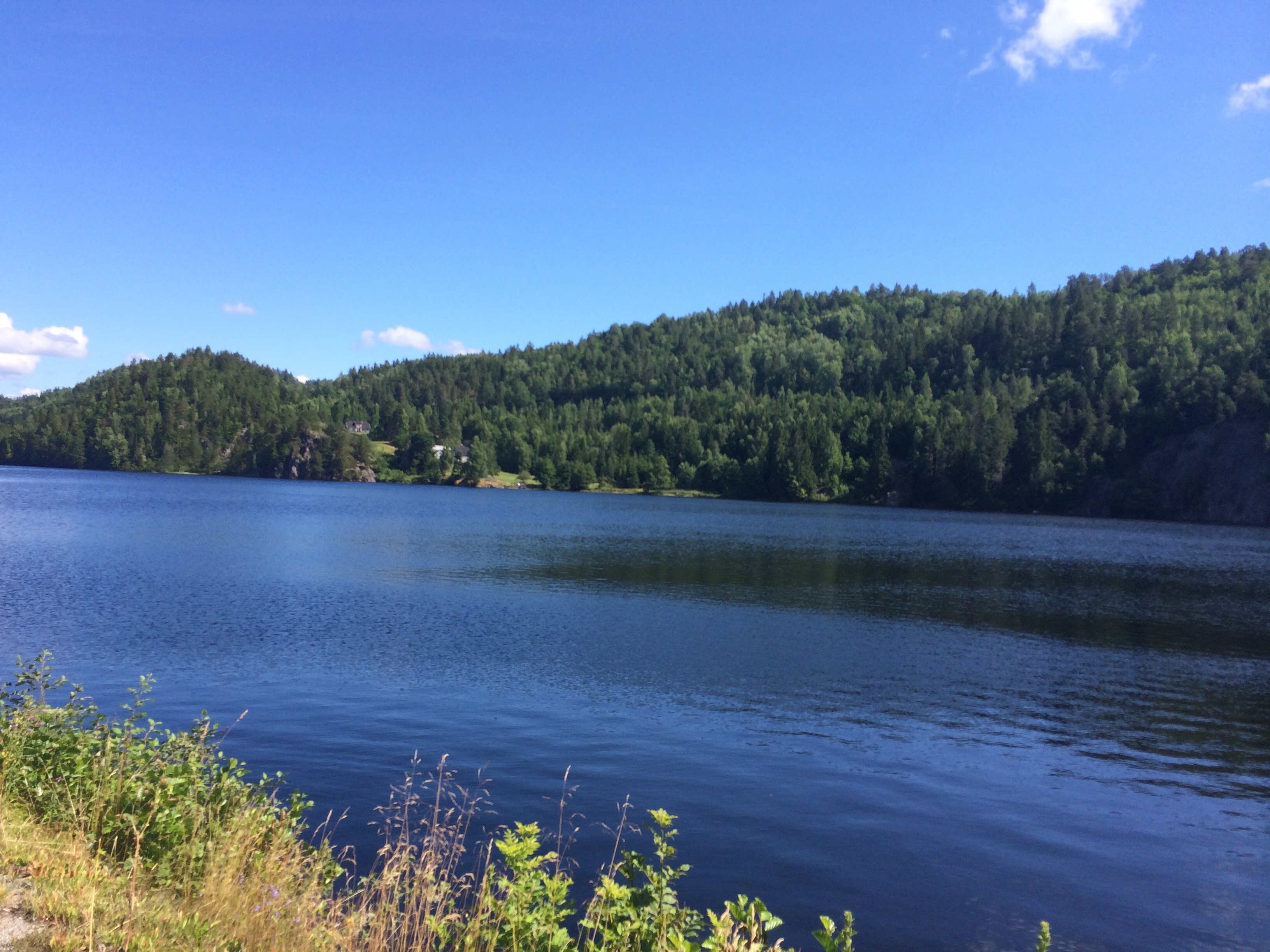
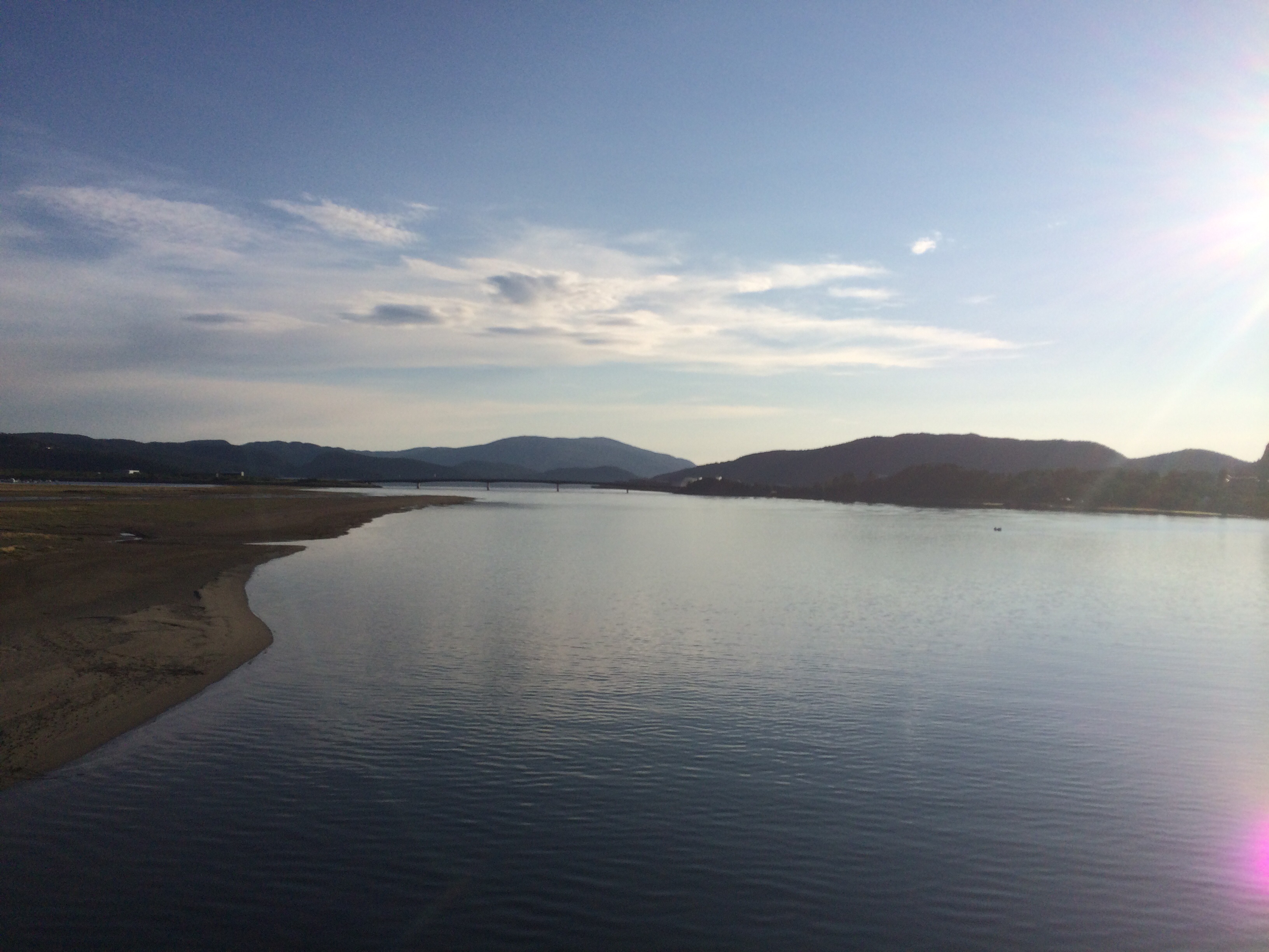
It took me 14 days to get to Namsos and chances are good that I might reach the North Cape in time. For now this sounds fine with me. The trip from Flakk to Namsos included everything that is typical for this region. Long inlets, steep hills and plenty of Norwegian daily live. I spotted this creative outburst below on the 720 to Malm.

image

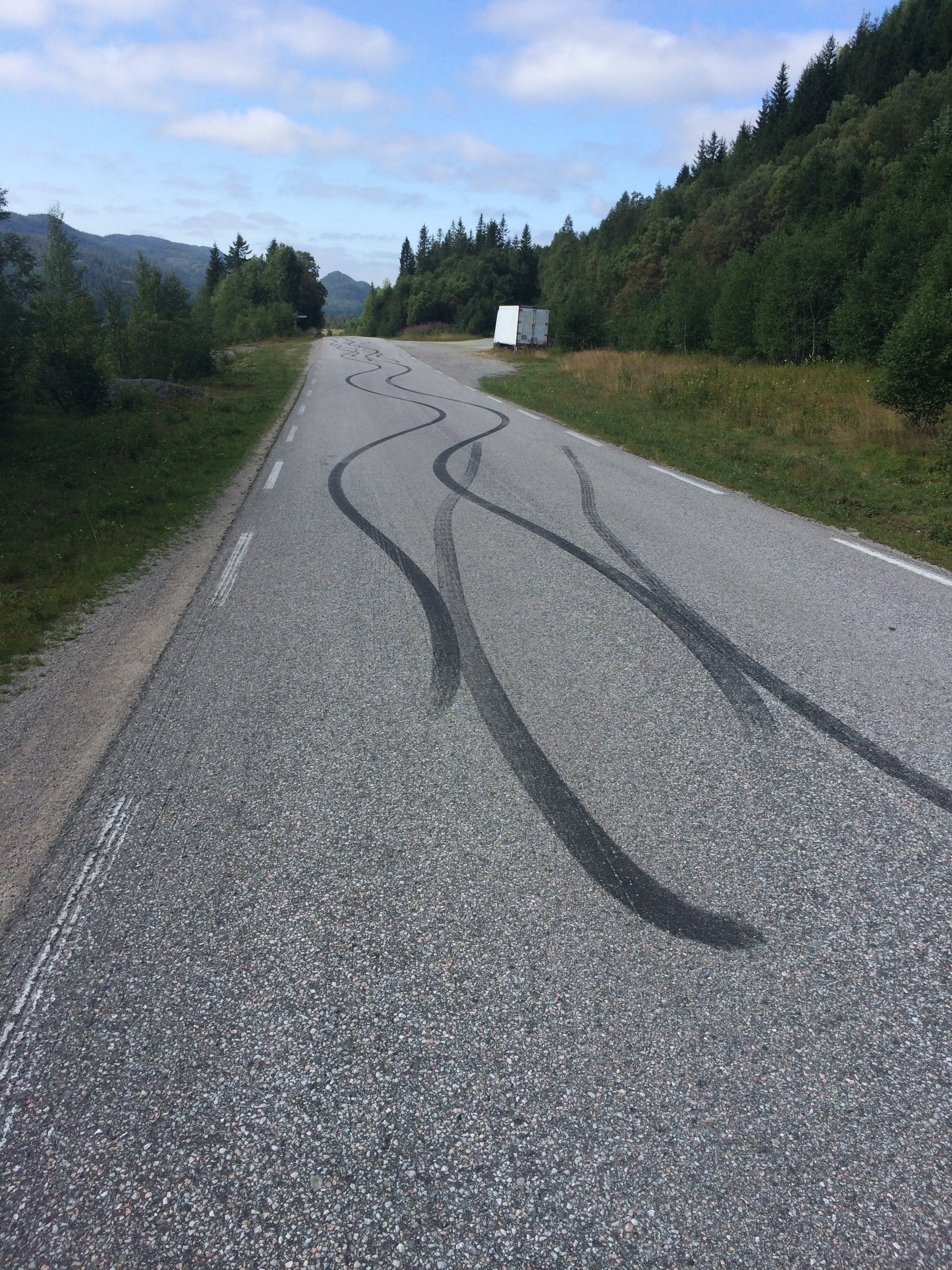
Looks like modern rock painting. Haven’t seen anybody painting it but I am sure it must be an adult male that created this lines.

Another man made thing caught my interest later on at the side of the same road.

image

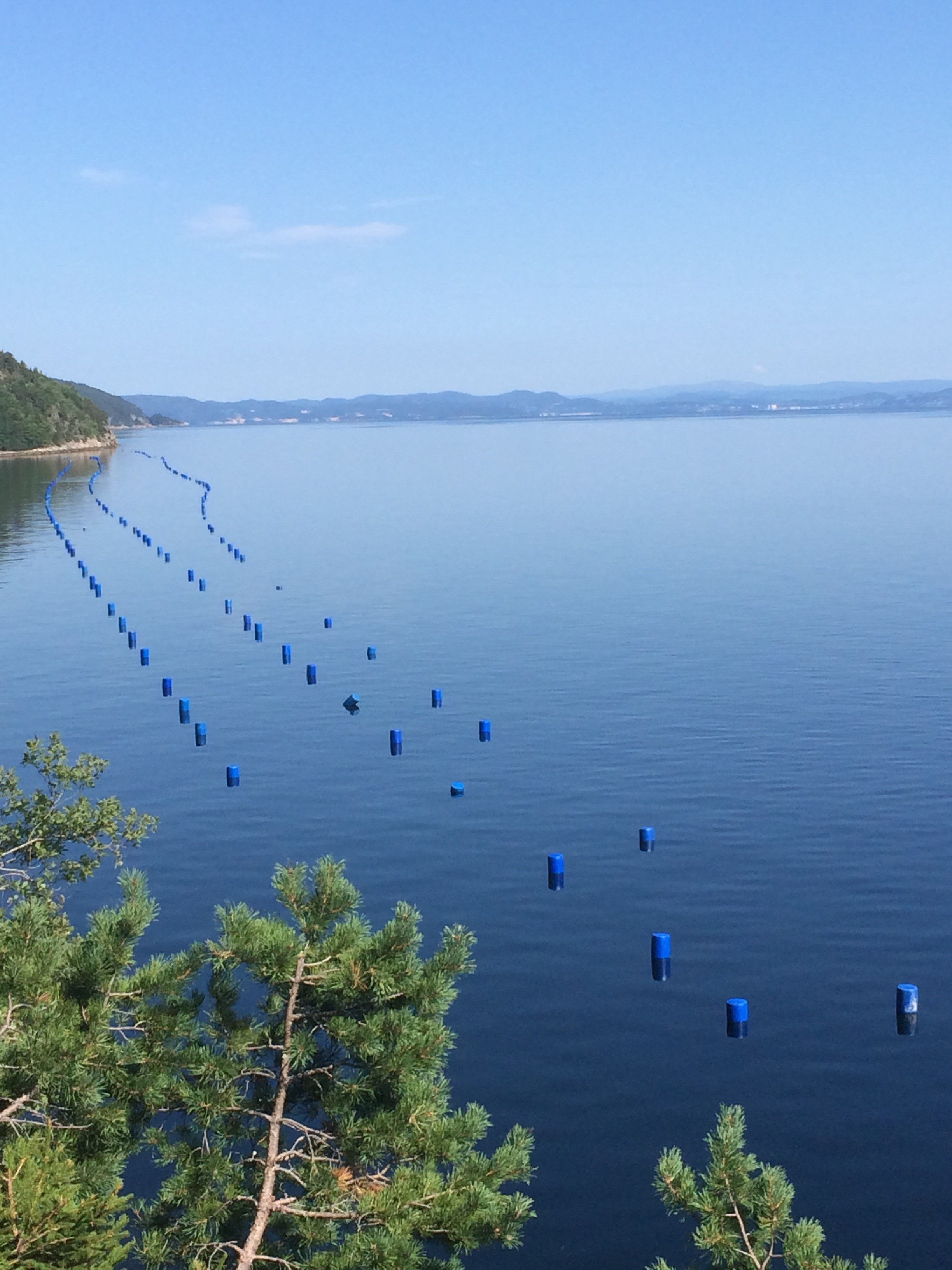
What looks like a Christo monument is just pure aquaculture. The blue plastic barrels act as buoys for long lines under water that are overgrown by common or blue mussels. But it looks very nice from above.

image

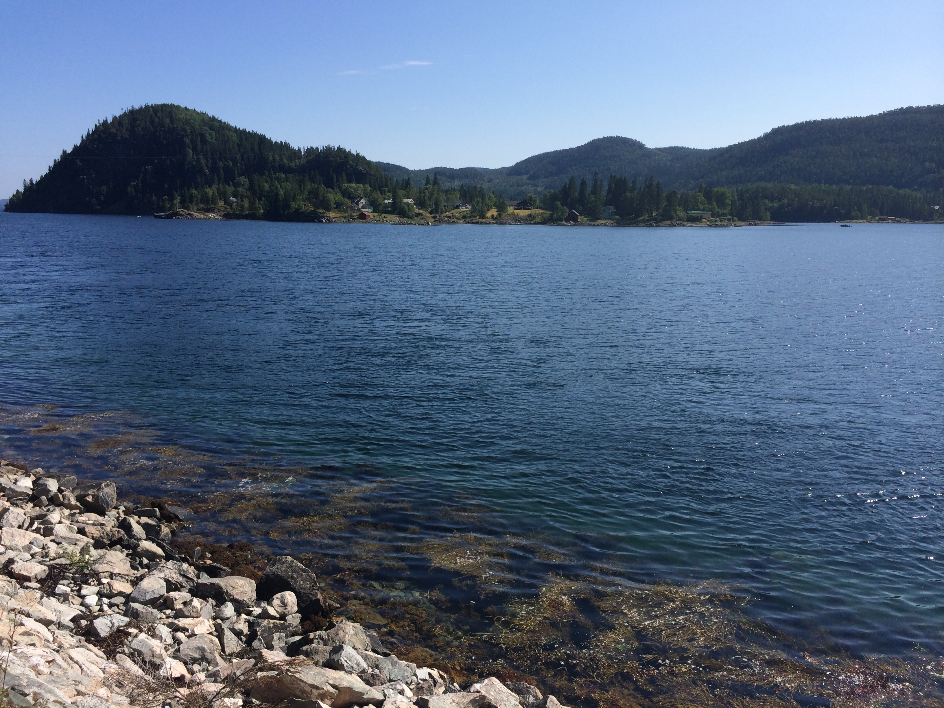
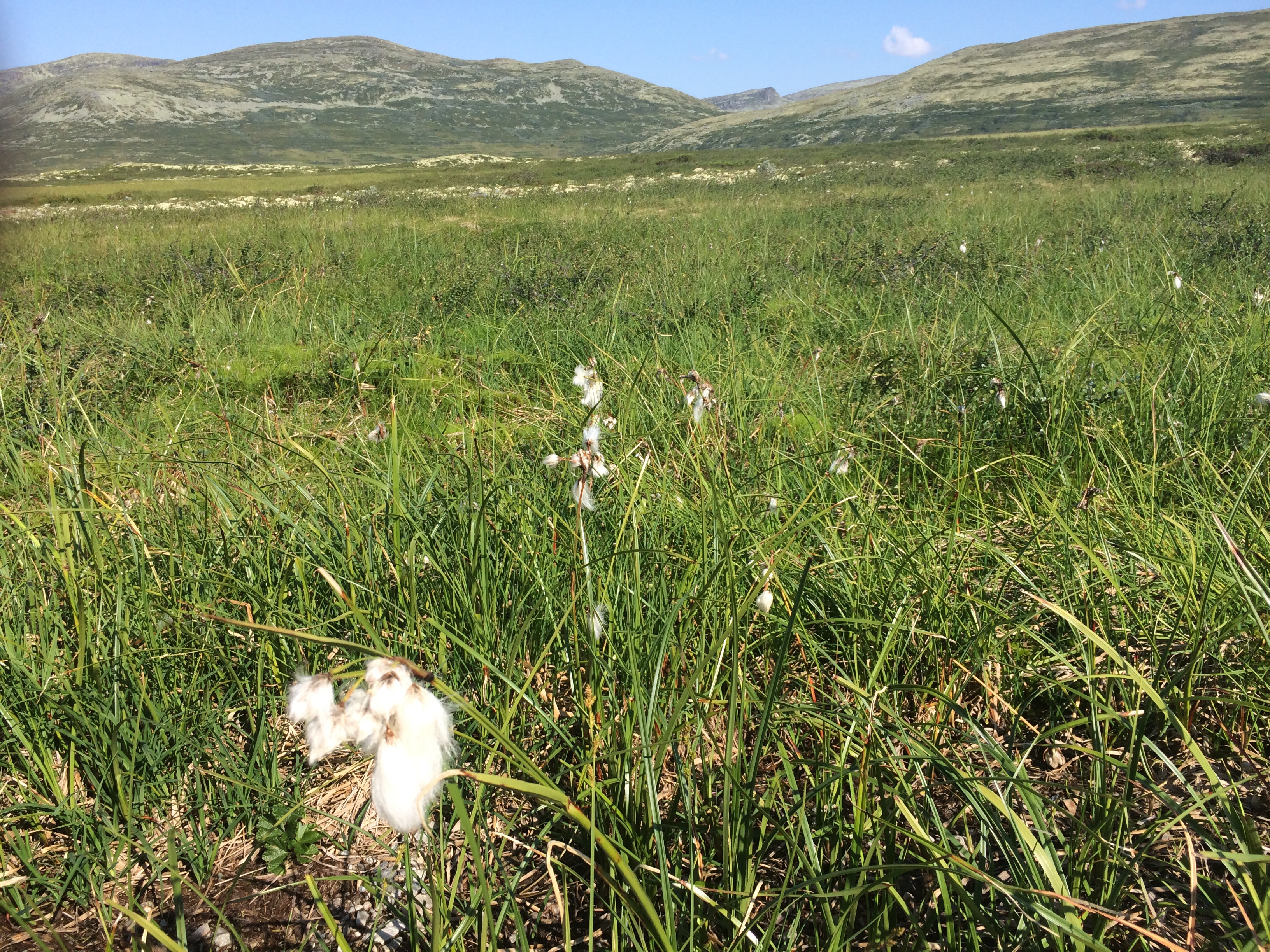
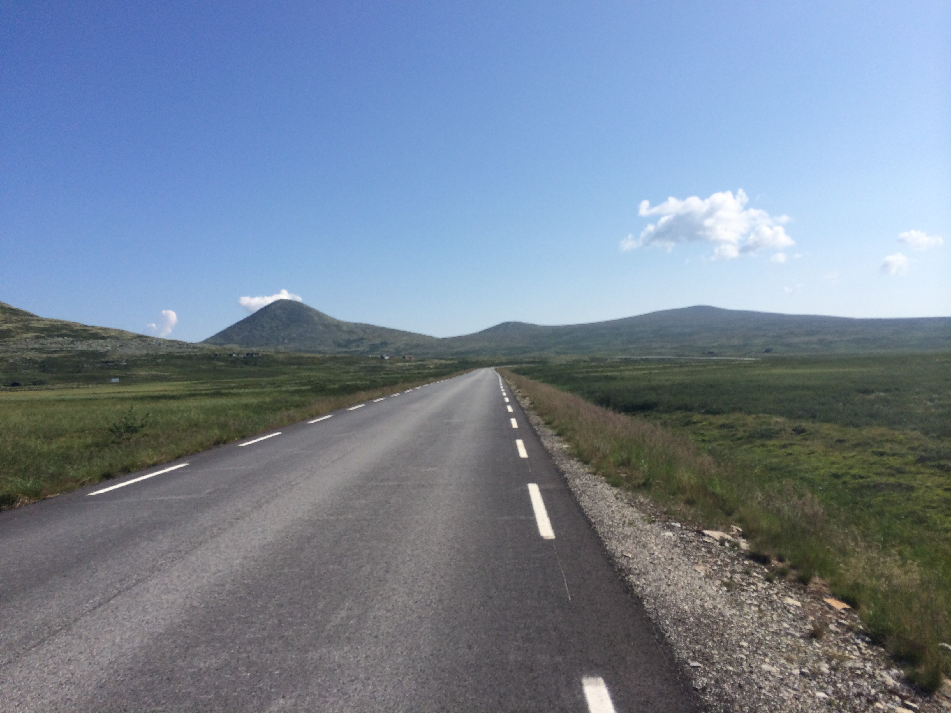
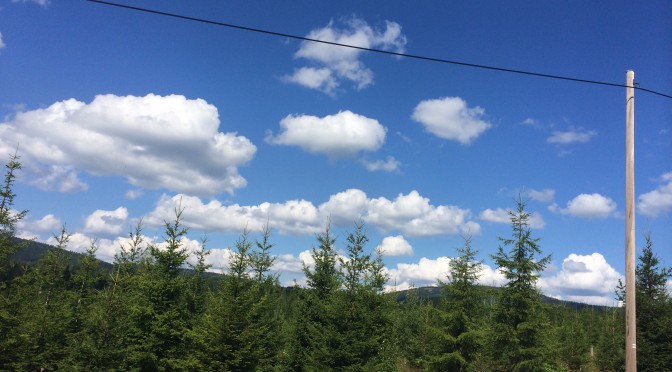
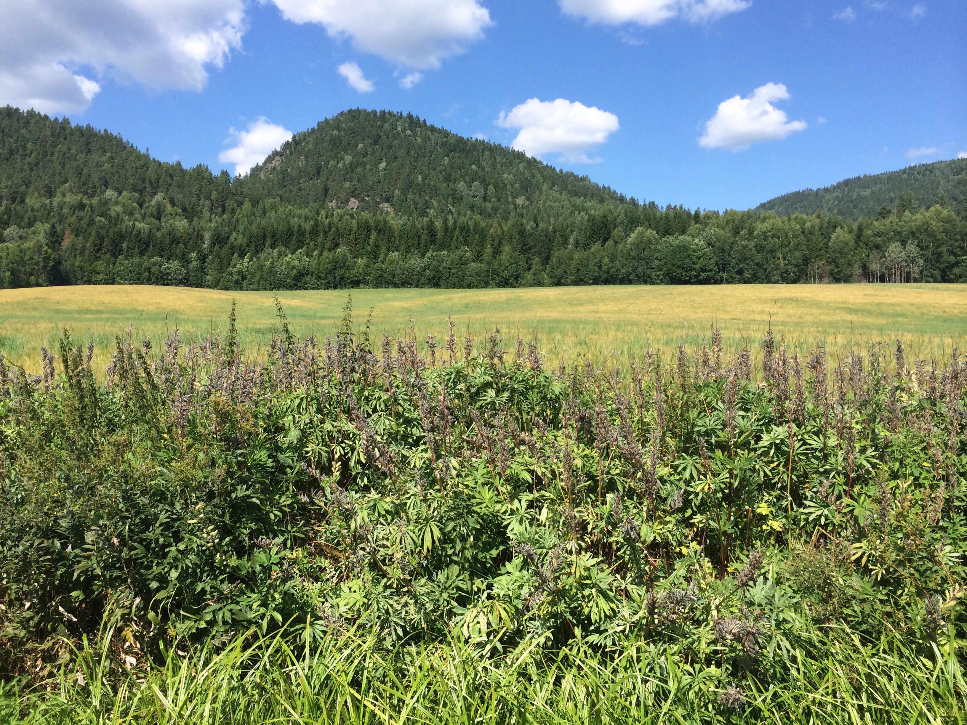
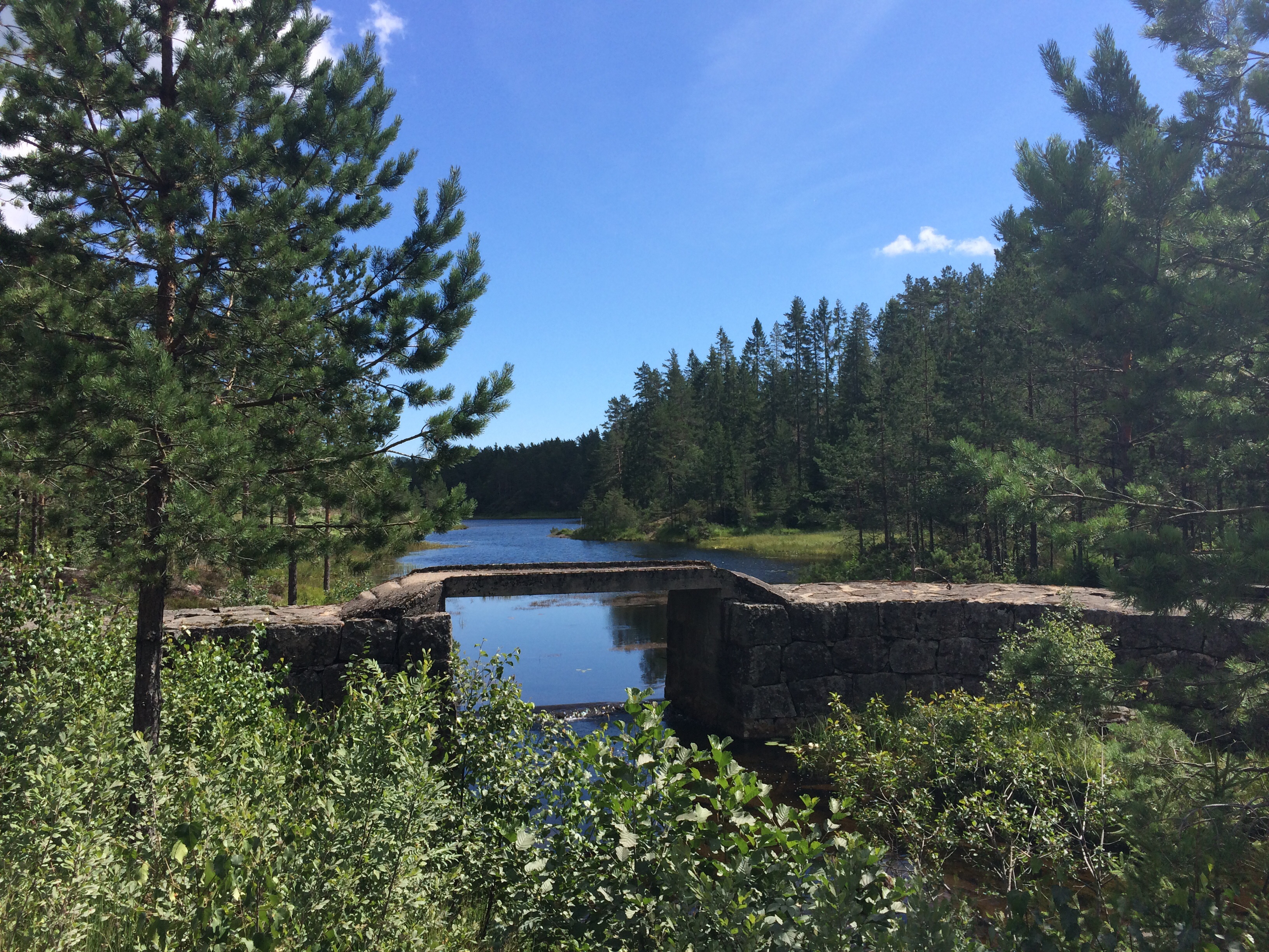
Most of my views were very marine. Fjords and hills or hills and meadows or woods and hills. It was never boring and always interesting to guess and than see what came after the next hilltop.

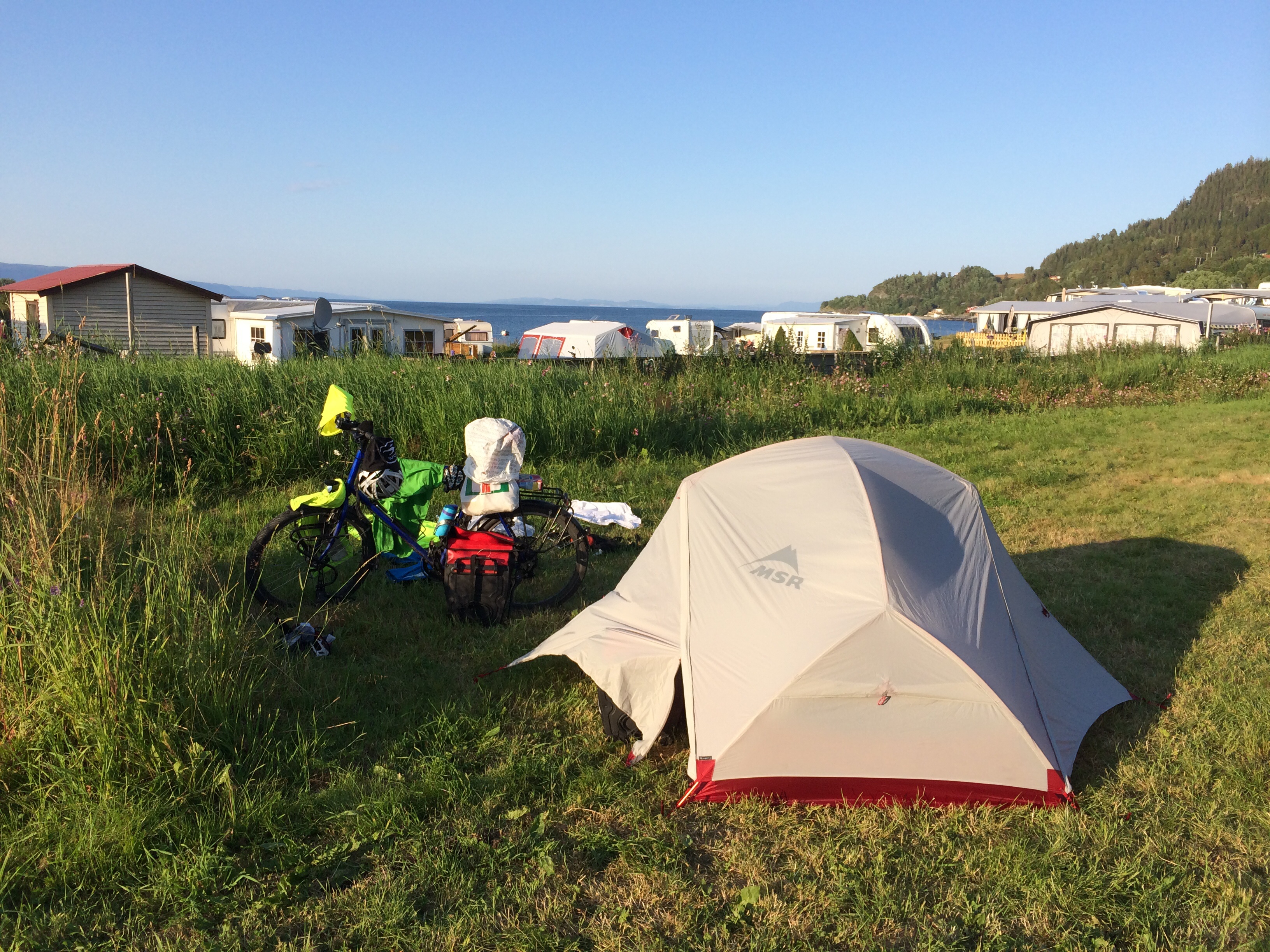
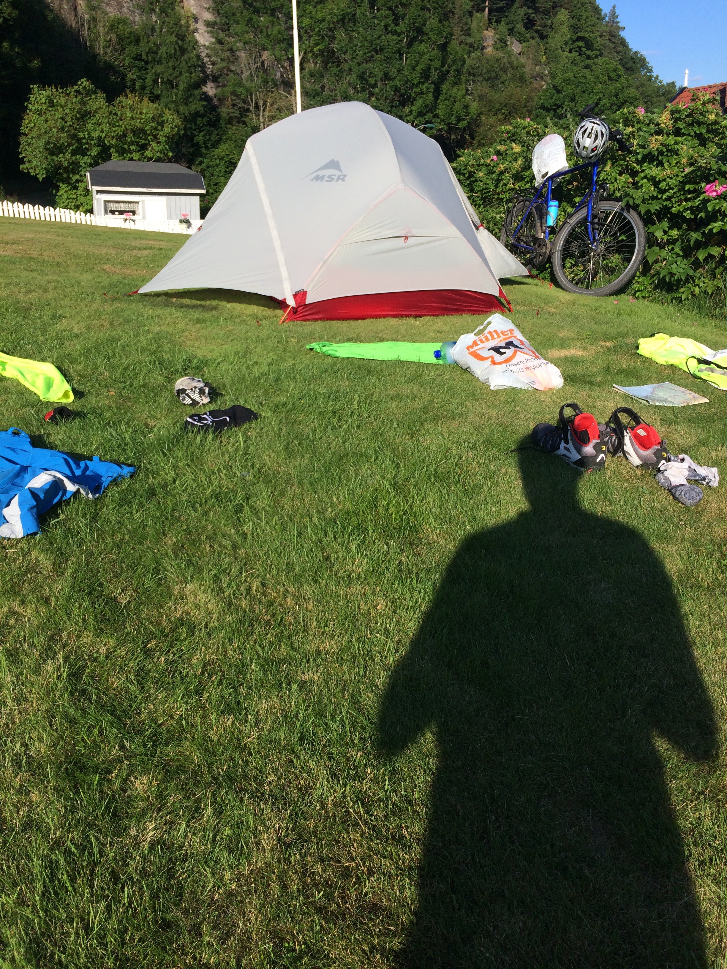
The day ended at the camping site in Namsos. The number of travelling bicyclist has increased drastically.

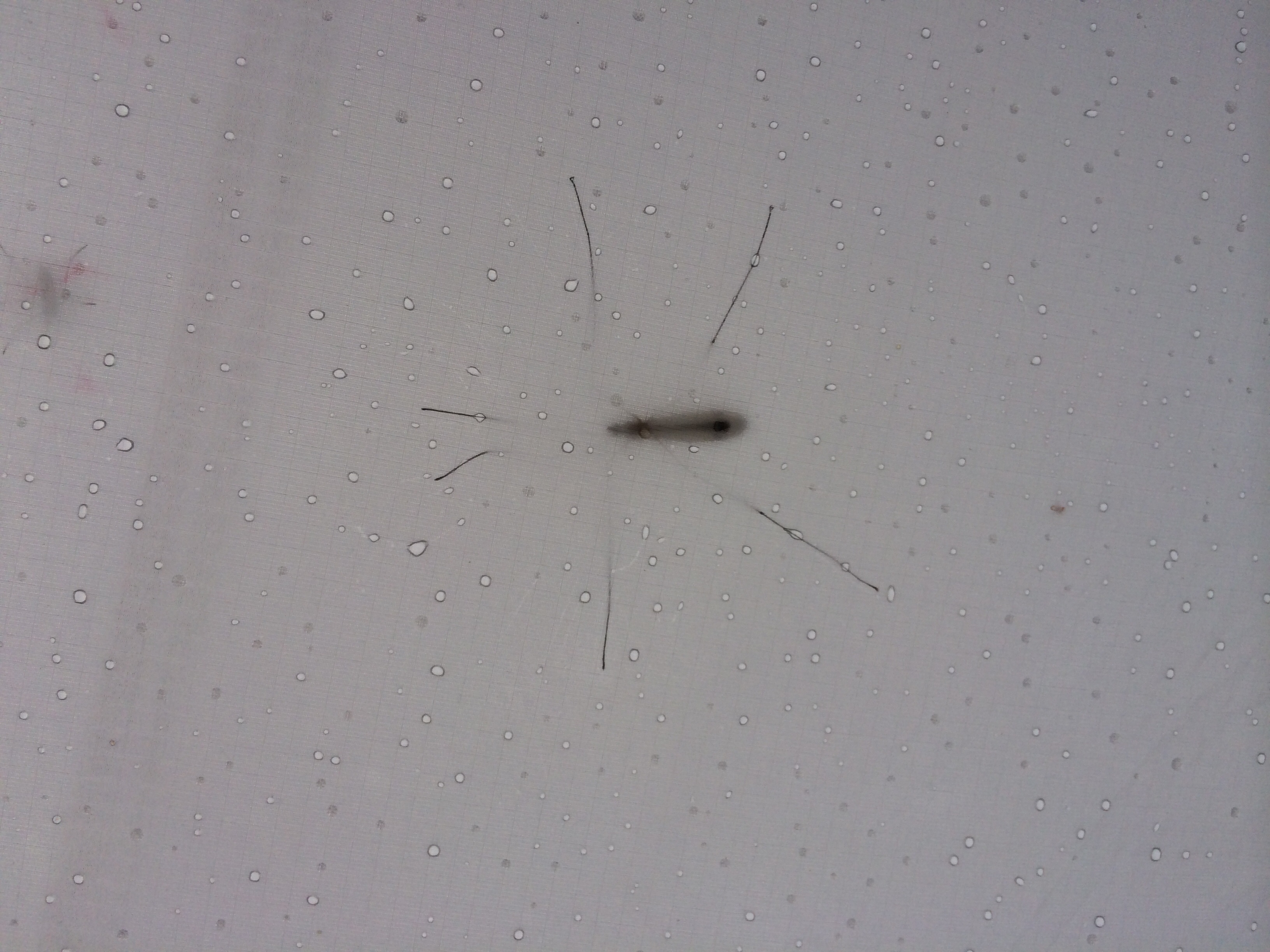
One last story for today: Shortly before I got to Namsos I had a collision when I went down a hill. I think we both were shocked by the encounter as I hit him head-on. Still a little shaky it seemed that no major parts were broken when the butterfly headed towards the meadows.

Wieder an der Küste

144 km I 0:08:41 I 1.999 km I 5:02:20 I Oppdal – Flakk

image

Heute habe ich endlich die Atlantikküste erreicht. Jetzt kann es auf den Kystriksveien gehen. Nach der längeren Berechnung habe ich jetzt die Hälfte, andere Angaben lauten noch 1.600 Kilometer.  Die letzten drei Tage waren ziemlich fordernd, auch wenn es gestern gegen den späten Nachmittag und heute Vormittag längere Abfahrtsstrecken gab. Die meiste Zeit ging es jedoch auf dem ziemlich entnervenden E6 zwischen weißem Randstreifen und Grasnarbe entlang. Schön waren auch heute die Ausblicke auf die Berge,

image

die Wasserfälle und Stromschnellen,

image

sowie natürlich auch die Dörfer.

image

Für Trondheim werde ich mir wohl ein anderes Mal Zeit nehmen müssen. Heute hat mich allein die Navigation durch die Stadt ziemlich gefordert und dann war mir das Zelt doch näher als das Sightseeing.

Die gute Nachricht und was zum Schmunzeln. Hier bei Trondheim gibt es eine Haltestelle für Biologen.

image


Ready for part two

I am at the Atlantic coast.

image

Tonight I hope to hear the sound of the waves and the sea gulls hovering in the sky. Tomorrow I will be starting my day with my first inner Norwegian ferry trip. It will not be my last.

I am leaving the high mountains behind to face the coastal hills of the Atlantic Coast. So it will not become boring the next two weeks. Today started with some downhills passages on the very busy E6. Just a very few cycling lanes allowed some relaxing rolling.

image

Various times during the day I find myself discussing and evaluating things and events in my mind in English. I have switched into this mode automatically.  But this is just a collateral I am still the same as before. At least nearly the same.

image

For today there are no more wise words to share. As you see from the picture above I am still able to smile. At least when the daily pedalling had been done. Seeing you all soon on this channel.

The crossing

153 km I 0:10:26 I 1.846 km I 4:17:39 I Hundorp – Oppdal

It had been a long and busy day why I will only provide two condensed versions of today.

Here is the one for the number crunchers:

image

Wake up call: 6:30 am

Start: 7:30 am

Breakfast: 2 slices of bread with peanut butter and cheese (calories uncounted)

initial climb: 751 meters of altitude within the first 10 kilometres

late breakfast: fresh blueberries with a blueberry muffin and one liter of buttermilk with blueberry taste

lunch: 400 gramm of potato salad, one liter of buttermilk with blueberry taste

drinks: 3 litres of fjord water, 1,5 litres of mineral water, 1 litre of Coca Cola

totally climbed: 1.716 meters

maximum altitude 1.065 meters

minimal altitude: 179 meters

moving average: 18 kilometres per hour

And here is the visual version „Ohne Worte“:

image

image

image

image

image image image image image image


Durchs Olympialand

102 km I 0:07:01 I 1.693 km I 4:07:13 I Gjøvik – Hundorp

image

Der Blick auf und die Fahrt durch die Olympiastadt Lillehammer war heute eines der Highlights heute. In der Hauptsache ging es mir darum Höhenmeter zu sammeln. Bin jetzt auf etwa 500 Metern angelangt. Morgen werde ich wohl auf die Passhöhe bei etwas über 1.000 Metern gelangen. Heute habe ich etwas ruhiger machen müssen, da ich meine Kräfte für den Aufstieg sammeln muss.

Trotz der Kürze der Etappe gab es einige schöne Passagen, wie zum Beispiel durch den Ski- und Mountainbike Ortsteil Hafjell.

image

Oder den Blick auf eine Staustufe des Lagen in der Nähe von Tretten.

image

Aber auch ansonsten ist es spannend sich im Tal gezielt auf die Berge zuzubewegen, die in der Ferne als Riegel zu erkennen sind.

image

Übermorgen will ich Trondheim erreichen, doch schon jetzt liegt Südnorwegen hinter mir. Morgen bin ich dann auf dem Dovrefjell und dann geht es auch schon wieder runter ans Meer. Eventuell werde ich in Trondheim einen Ruhetag einlegen, aber das wird sich zeigen. Momentan liege ich gut in der Zeit und das soll auch so bleiben.


Approaching the Norwegian Altiplano 

Getting up late, leaving the camp site at 9:30 am had not been such a brilliant idea but the day before had been a challenging one. It very quickly turned out that it will be harder to collect some more Miles today due to the extra mile I had to go yesterday.

But going slower today resulted in some extra time for pictures. The views were gorgeous when I followed the tracks parallel to the E6 which was only for motorised vehicles.

image


Slowly climbing higher I notice the changes of the tree from leafs to needles and the alpine floral elements. Some of the trees are covered with lichens and even the fence poles have them.

image

It was not my best day but I came very close to the great divine. Tomorrow morning I will get up early to start the climb when it is not so hot. Currently we have about 26-28 degrees Celsius over here. A great summer since I arrived in Kristiansand some days ago.

Auf in die Höhe

161 km I 0:09:59 I 1.591 km I 4:00:12 I Vikersund – Gjøvik

image

Heute habe ich endlich Höhe gemacht. Zum Einen lag mein höchster Punkt heute bei 518 m und zum Anderen liegt mein heutiger Zielort bei immerhin 350 m über NN.

image

Heute war der Tag der  Wasserfälle. Immer wieder das Plätschern und Rauschen des Wassers. Gestern hat mich das Knacken, der in der Sonne platzenden Lupinienschotten begleitet. An bewegter Natur ist weiterhin wenig zu sehen. Die Dachse in Kristiansand waren da bisher der Höhepunkt. Nur heute noch einen Raben gehört. Die verschiedenen Passagen der großen Seen waren durchweg schön. Ein paar knackige Anstiege und vor allem einer letzen Bergetappe zum krönenden Abschluss haben es dann doch ein paar Kilometer mehr werden lassen als geplant. Aber ich bin auch näher am Nordkapp.


Into the highlands

image

It seems that the climb has started. 350m altitude here in Gjøvik and a 518m as today‘ s maximum altitude. Beautiful landscapes again and a lot of water. Fjord water to drink at the camping sites, Big lakes with boats and swimmers and last but not least the various water falls like the Hønefoss above. Here north of Gjøvik I am again staying at a camping side directly at the lake shore. A high energy dinner completed my day and a nice chat with a family from Eichsfeld in Thuringa.

image

Good days end.

Auf und nieder

137 km I 0:08:30 I 1.430 km I 3:13:13 I Skien – Vikersundimage

Start im sehr schönen Skien, das trotz Bergen drumherum eher wie eine Hafenstadt daherkommt. Sehr lohnenswert, wenn man nicht gerade mit dem Rad anderswohin unterwegs ist. Nach dem dezenten Anstieg vom Zeltplatz nach Skien, ging es weiter ins Skizentrum Siljan zwischen den Bergen. Also mal eben auf 296 m hochgeturnt oder besser altersgerecht rouliert.

Die Schneisen im von Bergen umgebenen Siljan waren zwar schneefrei, aber für die kommende Saison wurde bereits geworben. Die weitere Fahrt war dann einigermaßen gut zu meistern. Nur bei den sehr variablen Anstiege fällt es schwer sich daran zu gewöhnen. Denke da oft an die Inuit, die 100 verschiedene Worte für Schnee haben. Bei den Norwegern müsste die für die Anstiege gelten. Ich klassifiziere sie nach Gängen. Da gibt es die lockeren 9er, die 7er mit schon etwas mehr Prozenten und dann die 3er oder 2er, bei den Keuchen garantiert ist.

image

Aber Hauptsache lächeln, denn schließlich ist das ja alles freiwillig. Die absolute beste Nachricht für heute ist die SMS von meiner Kollegin Eva, dass inzwischen 260€  zusammen gekommen sind. Von meiner Firma soll es noch 1.000€ geben und Alexis von Skillbuild.net will auch noch 10 Eurocent pro gefahrenem Kilometer dazutun. Also weiter so, liebe Leserinnen und Leser, helft mir das Ziel zu erreichen.

Crisscross through Norway’s Oslo region

The good news first: 260€ had been donated so far. With the 1.000€ of FleishmanHillard and the 10 Eurocents for every kilometre from Alexis‘ Skillbuild.net this seems a good start for me. A very good reason to continue my tour.

image

I am still on my way and even increased my distance today. With just a challenging start of a 300 meter climb in the beginning and some minor slopes and inclines today went quite smooth. As always the end of the day tended to stretch a little. So everything smooth and easy. Today I tended to follow the planned route which turned out to be smart as travelling from west to east made me cross several mountain ridges while south to North was much smoother with no dramatic inclines aside the typical ones. It is interesting to notice that the road might follow the shoreline of a lake but still goes up and done. Many times I saw the lake I passed from more than tree top level at least 20 to 40 meters from above.

image

And I got into the skiing regions. The construction you see is the ski flying ramp of Vikersund. It is the place were the longest jump had been performed by a Norwegian. Something about 250 meters or so. For details please google;-).

image

And as yesterday today ended in a tent at Tyrifjorden. This time I took the opportunity and swam a little. What a refreshment. And now it is time to rest. Will keep you updated and do not forget to make your donation if you enjoy the show.

Auf in die Berge

105 km I 0:07:49 I 1.293 km I 3:04:43 I Risør/Moen – Skien

image

Es hatte heute morgen alles mit einem entspannten Frühstück auf der Terrasse begonnen.  Welch ein Glück, dass ich noch im Gästehaus erfuhr, dass die Fähre nach Øysang Sonntags nicht fährt. So ersparte ich mir meinen zweiten vergeblichen Besuch in diesem sehr schönen Ort. Also nach Norden auf der 416. Statt bis Sandefjord der Küste zu Folgen, hatte ich mich entschieden den Lenker nach Norden zu drehen. Auf großen und kleinen Straßen ging es also erst nach Gjerstad. Ein anstrengender Weg mit viel Auf und Ab, aber auch ein wunderschöner. Nachfolgend ein paar Eindrücke.

image imageimage image

Wäre sicher schön, etwas mehr Zeit zu haben;-)

Der Weg nach Kroken war dann doch etwas schotterig. Glücklicherweise bis jetzt die Ausnähme. Über Henneseid ging es dann über gefühlte 10.000 Höhenmeter, tatsächlich waren es doch nur etwa 1.800. Als ich endlich in Skien am Campingplatz war wusste ich, was ich heute getan hatte.image


Into the Northern wilderness

My story of today is about travelling and velocity. Having left the hilly coast of Southern Norway I started to face the challenge to get into the mountain range of the Telemark province. The name known from a special skiing turn of the early 1900 stands for woods, mountains and just few people living there. Today I went there with not more than a well packed bike, some enthusiasm and no topographic information at hand.

image

What I learned the hard way was that the number of steep slopes is nearly uncountable in numbers. It was also little motivational that only very few Tour de France equipped cyclists were around and all kinds of motorised vehicles passed by. And me, I looked at myself pedalling in a snail like pace trying to get to the top of the incline. Have you ever though a moment when you just pushing the gas of your car a little when the road goes uphill? I did think of this a lot today. Do not worry about the road kills, the badger and the squirrel had just been at the wrong time at the wrong space. Collateral damage would be the military term. The 100+ kilometres or 65+ miles felt like the double or more. Will have to see how it goes tomorrow. But for this beautiful sunny Sunday I just threw my things of me when I got to the camping spot in Skien.

image

The three kilometres downhill helped to better my mood today. It will be my warm up for tomorrow morning.